Stavros Calos
A showcase of some recent GIS and data science products I've created
Sample Projects
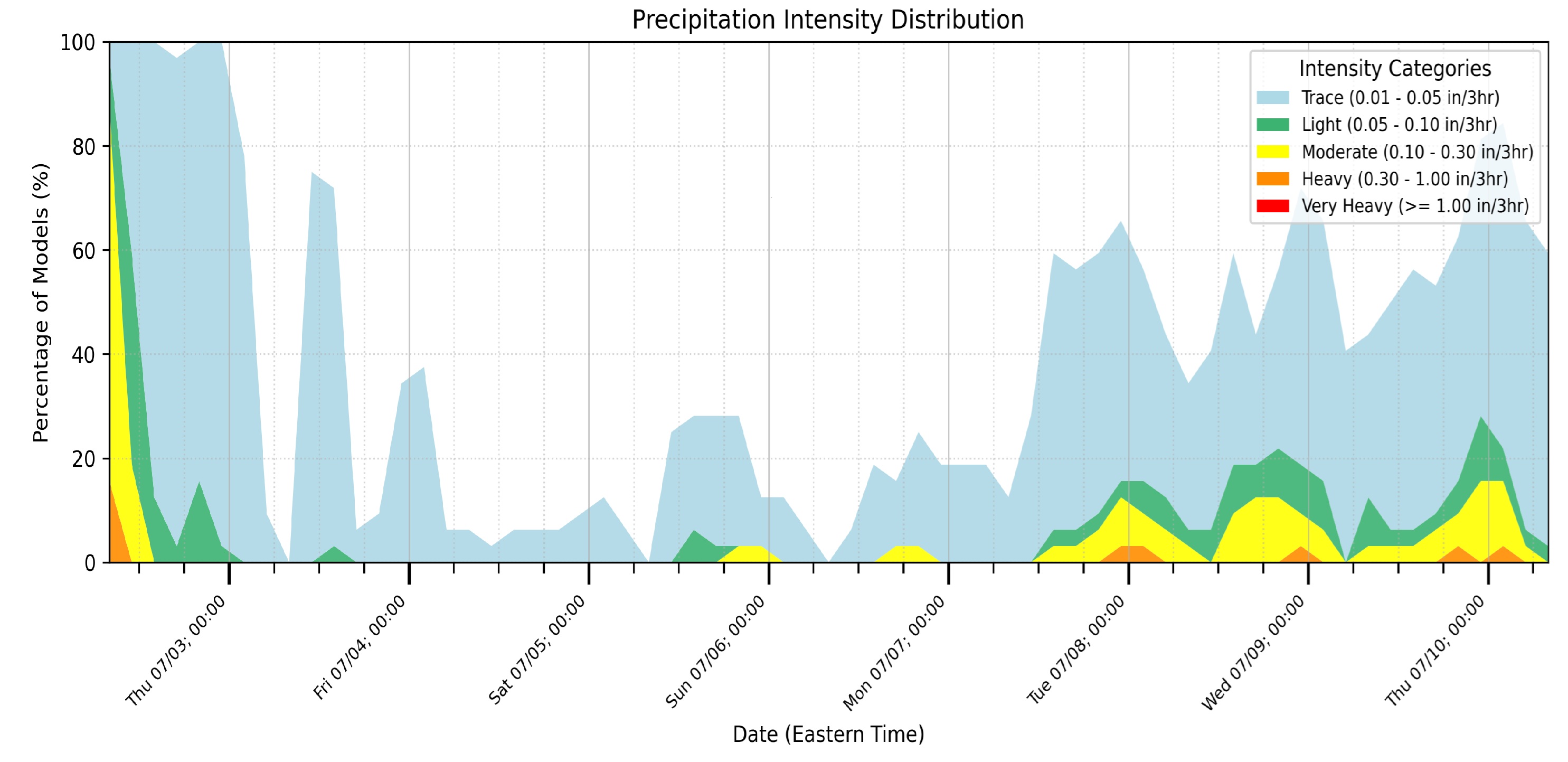
Stavrocast
Weather forecasting is full of uncertainty; Stavrocast demystifies this uncertainty by showing a range of equally probable weather forecast for every location on earth per the trusted ECMWF forecast.
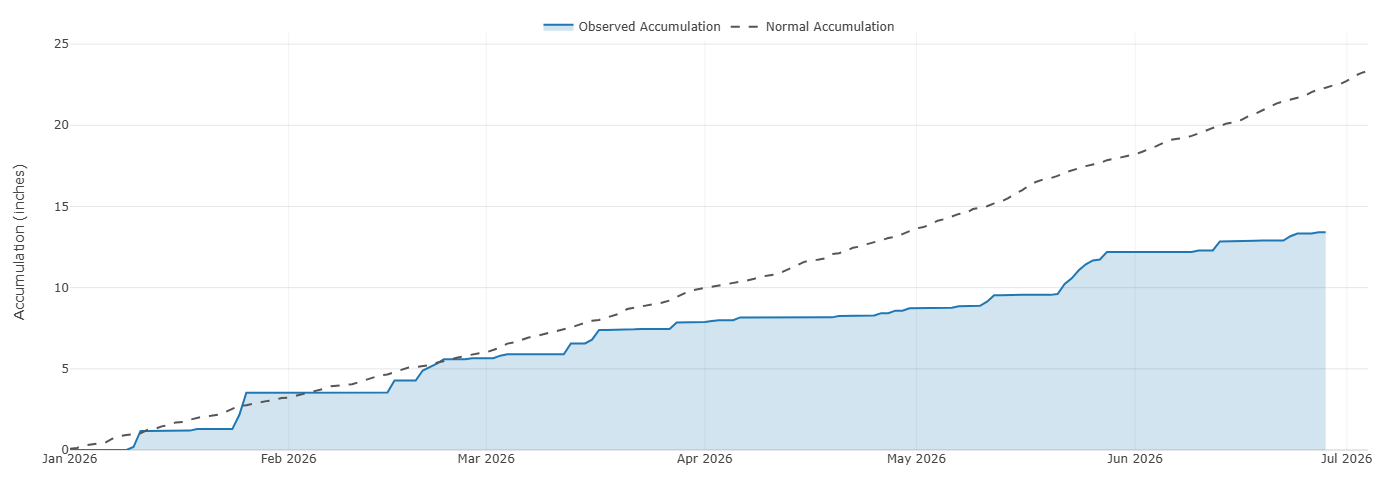
Hineycast
Stavrocast looks forward while hineycast looks to the rear. Hineycast quickly visualizes how much rain has fallen in any US location during the current calendar year and in recent hours or days.
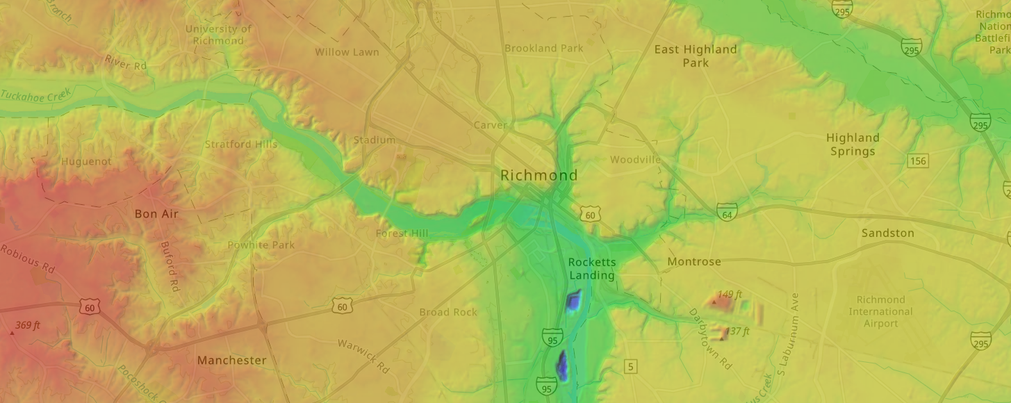
StavroTopo: High-Def LiDAR Elevation Viewer
StavroTopo turns high-resolution LiDAR into an interactive, high-definition topographic viewer. Explore fine-grained terrain, trace elevation profiles, and inspect contours and parcel boundaries against a detailed hillshade — all in the browser.
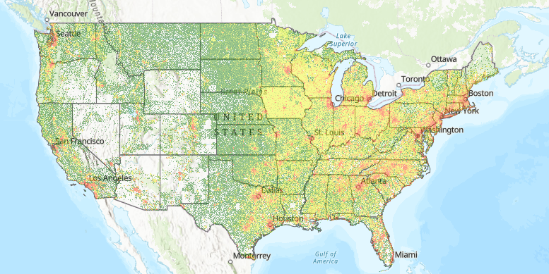
USA Average Parcel Sizes
Average parcel sizes are important in prospecting for land development projects. I built a raster image representing average parcel size throughout most of the US by using Python and PostgreSQL to analyze over 150 million publicly available parcel centroid points.
- © Stavros Calos. All rights reserved.
- HTML5 Template: HTML5 UP